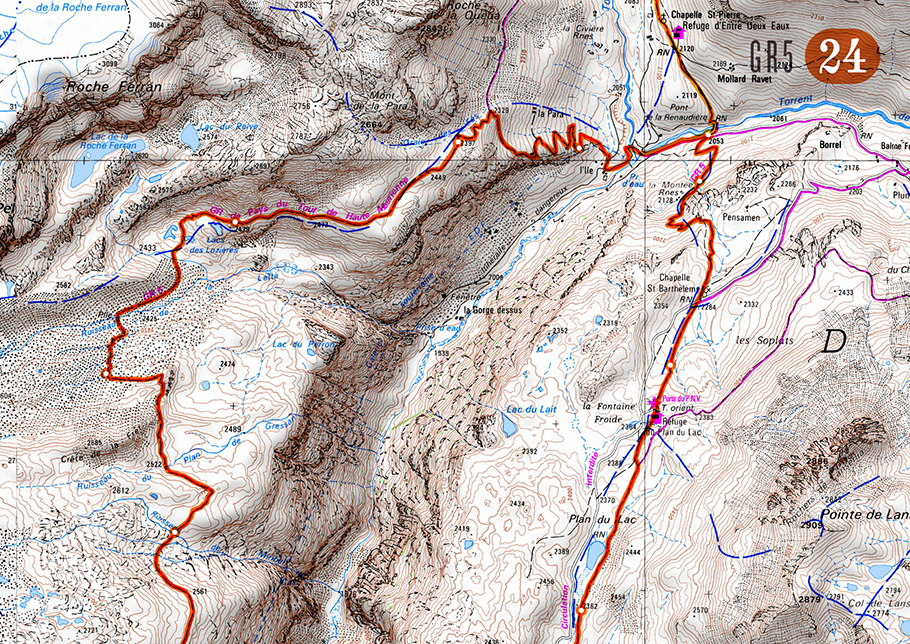
I’m off to the Alps this weekend with my brother to walk the GR5, 400 miles of mountains from Mont Blanc to the Med. They’ve had a record snow year over there (best in 50 years apparently), and we’re rather optimistically starting in June – should be quite interesting on some of the high passes..! I’ve been using the French Geo Portail site to stitch together some topo maps for trip, thought I’d post the finished map set to save someone else the bother :)
Get the maps:
Here’s a link to the Zip file to download (250mb).
It’s a PDF of 77 A4 maps to colour laser print (doesn’t bleed when wet like inkjet), I’ve mapped out most of the main alternative routes (GR55, GR52 etc) and some other variations that looked interesting. The orange line has mile markers along it to make it dead easy to gauge distances at a glance.

Great map file, but is it possible to get the Easting/Northings grid on the maps??
all I can say is a massive thank you for sharing this with me (and the world) .
I looked at the French Geo Portail site – began 2 try to cut and paste it – 10minutes later thought ‘feck this !’
so began scratching around the web for alternatives and you’ve done it for me !!!
once again cheers, I’ve just bought you a virtual beer . I hope you like it………
oh yes I’m heading off the beginning of june , I was expecting some snow but what you had was ridiculous . I’m pondering an axe and crampons now.
Paul
I’ve just got the new edition of the FFRP topo guide ‘Du Leman a la Vanoise’ which is just off the press. Finding the previous edition for this section is almost impossible.
Great resource
You might find
http://www.chamonix.com/webcam-chamonix-brevent-altitude-2000,139,en.html
useful. It is a webcam at Col de Brevant. Looks passable to me.
Roger